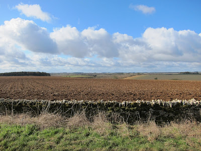
Today's walk was another from walkweb starting at Coln Rogers. The walk starts and ends at from a pretty Saxon church close to the river. It looks like spring is coming. Lunch was as at the Fossebridge Inn which we'd spotted last week.
Created by My Tracks on Android.
Total distance: 7.86 km (4.9 mi)
Total time: 1:34:26
Moving time: 1:33:35
Average speed: 4.99 km/h (3.1 mi/h)
Average moving speed: 5.04 km/h (3.1 mi/h)
Max speed: 9.57 km/h (5.9 mi/h)
Min elevation: 108 m (353 ft)
Max elevation: 208 m (681 ft)
Elevation gain: 54 m (178 ft)
Max grade: 5 %
Min grade: -2 %
Recorded: 19/02/2012 10:37
View 19/02/2012 10:37 in a larger map
Sunday, 19 February 2012
Sunday, 12 February 2012
Chedworth Roman Villa via Withington
Today's walk is from Walkweb but we started from the Chedworth Roman villa. The road up was very icy and the villa was closed at this time of year but it was nice walking in the snowy conditions. We discovered a really good pub, the Seven Tuns at Chedworth, so it is worth considering starting from there.
Cant figure out how to merge my maps, but here's the route from the start to the pub.
View 12/02/2012 10:51 in a larger map
Cant figure out how to merge my maps, but here's the route from the start to the pub.
View 12/02/2012 10:51 in a larger map
Sunday, 5 February 2012
Winchcombe towards Farmcote
There had been a fall of snow overnight so we decided to walk locally up onto the Cotswold escarpment from Winchcombe towards Farmcote Wood. Little snow had settled and it was melting as we walked, we were lucky to catch it and the conditions were still and mild. All the pubs in town were fully booked so we stopped at the Rising Sun on Cleeve Hill.
Created by My Tracks on Android.
Total distance: 11.77 km (7.3 mi)
Total time: 2:55:38
Moving time: 2:54:15
Average speed: 4.02 km/h (2.5 mi/h)
Average moving speed: 4.05 km/h (2.5 mi/h)
Max speed: 11.70 km/h (7.3 mi/h)
Min elevation: 133 m (438 ft)
Max elevation: 337 m (1105 ft)
Elevation gain: 211 m (692 ft)
Max grade: 11 %
Min grade: -7 %
Recorded: 2/5/12 10:24 AM
View 2/5/12 10:24 AM in a larger map
Subscribe to:
Comments (Atom)


